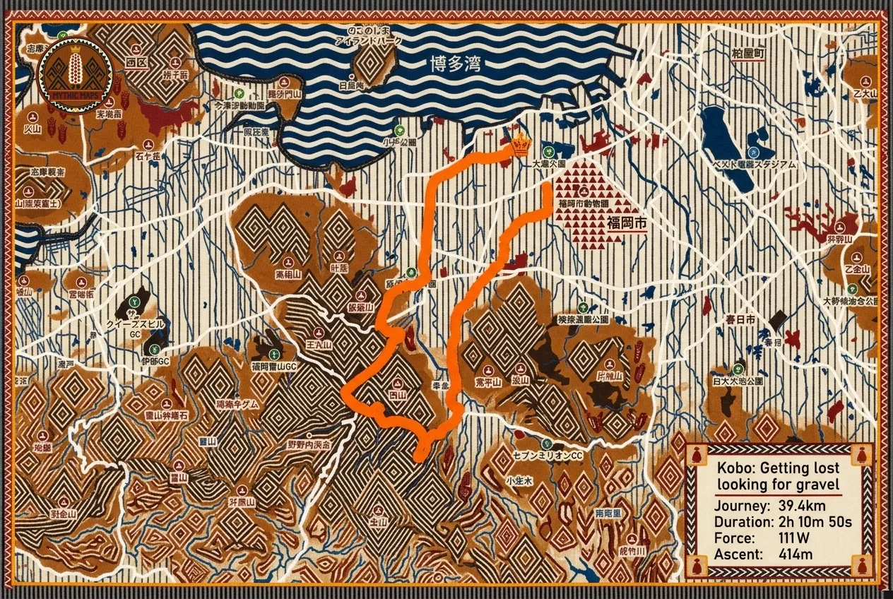
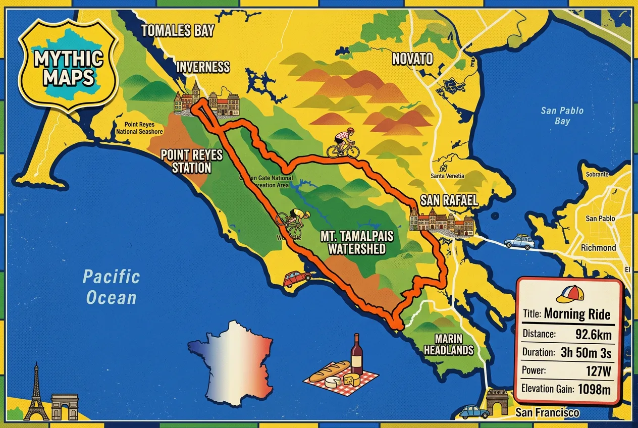
Mythic Maps connects to Strava once. From then on, if you turn on auto-generation, each new activity with GPS can come back as a drawn map in one of more than 40 styles, from Edo Japan to pixel-art RPG, most in both a flat 2D and a terrain 3D version. AI generates each map, with a dedicated prompt engine for each style. The map goes onto the Strava activity as its main photo, with a 10-second video that fades from the Strava map into the artwork.
It also runs eight long route challenges, the Nakasendo among them, that your everyday activities move you along. None of it costs money. An art map you make by hand costs one diamond, and diamonds are earned (from challenges, referrals, sharing maps); the site offers no way to buy them. The Zwift map fix never costs one, and Samuel says the art maps that upload to Strava automatically don’t either.
Samuel is an engineer by background who worked in product and corporate roles before Mythic Maps, which launched in June 2025 and is based in Fukuoka, Japan. He says it has made over 50,000 maps. Here’s our conversation with him.
How did Mythic Maps start?
It started while we were building an indoor cycling app and looking for ways to make the visuals more fun. We began turning routes into illustrated maps and realized that these maps could be fun for a lot more people than just indoor cyclists. When we saw the response to our first post on Reddit, we knew there was real potential, so we decided to build Mythic Maps around it.
Is there one map, or one reaction from a user, that made you think “this is working”?
Our first Reddit post. Seeing complete strangers react that way to something we had built for ourselves was when it clicked.
That post, “Make your Strava map Mythic!”, went up on r/Strava on June 26, 2025.
How do you design a style, and how do you decide one is good enough to release?
The early styles came from historical inspiration like old maps, followed by video games, painting styles and techniques, and later specific places and materials. Each style needs its own system for drawing terrain, water, roads, and buildings. Otherwise, it’s just a color filter.
To decide if a style is ready, I run it on a set of test routes that I know will break it: maps with lots of empty water, no water at all, or dense cities. If a style holds up on those, it will work on most real activities. We also try to keep variety going, so each new style feels different from the last rather than like another version of something we already have.
Who uses the route challenges, and what keeps someone going for months?
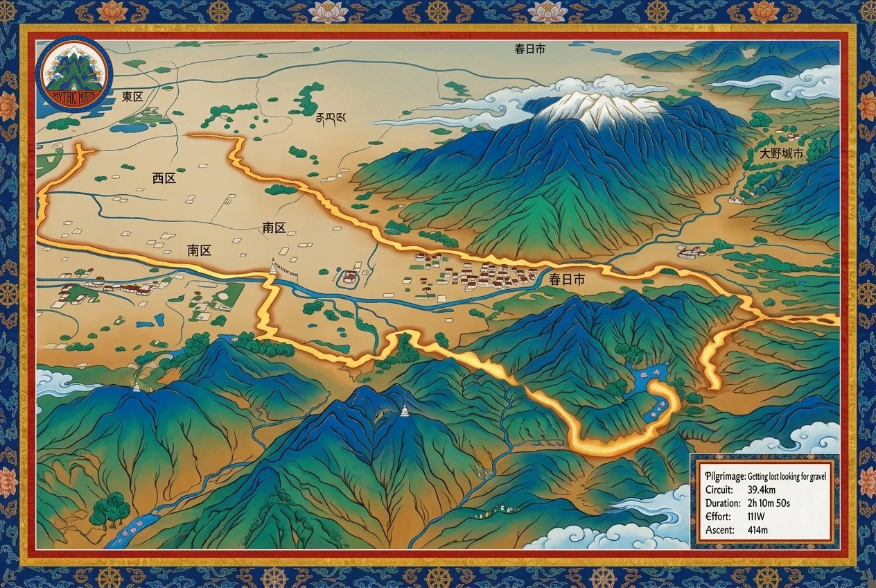
Honestly, we don’t have a clear picture yet. What we do see is a group of people who log a lot of activities, sometimes several a day, and the challenges suit them well. People like getting maps for their repetitive activities as much as the big ones. A race gets remembered anyway, but the same loop you ride three times a week never gets anything. The challenges give that daily grind a bit more life, because every ordinary session moves you further along the Nakasendo and comes back as a map.
The challenges are eight long routes on four continents: the Nakasendo from Karuizawa to Kyoto, the Annapurna Circuit, the Dolomites, the Continental Divide in Colorado and four more. Any Strava activity with distance counts toward the one you’ve joined, with no minimum and no time limit. Each checkpoint pays out diamonds and a story about the place’s history and culture, and emails a 3D flyover of the terrain you just covered.
What made you build the Zwift map fix, and has it changed who signs up?
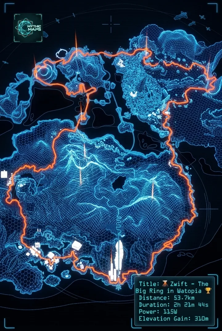
Because it frustrated us. Zwift rides were showing up on Strava as routes drawn across the ocean, which made no sense for a cycling activity and didn’t look great in the feed. So we fixed it, and people liked having an accurate map even without the art styles. It has grown into a big part of what we do: roughly 30% of the maps we make now are Zwift rides.
Why your Zwift ride is in the middle of the ocean
On Strava, a ride in Watopia, Zwift’s main island, shows up as a route on open water in the Pacific. Mythic Maps’ explanation: Zwift sends Strava coordinates for its virtual worlds, and Watopia is mapped to the ocean near the Solomon Islands. The fix, announced in August 2026, replaces the activity photo with the real map of the Zwift world you rode, in 2D or 3D, for every Zwift world, automatically once it’s on. Route data, power and segments stay as they are; only the photo changes. Rouvy and MyWhoosh are listed as coming soon.
Choosing an indoor platform? See Zwift vs Rouvy.
What’s the hardest route you’ve had to make look good, and what’s still unsolved?
The hardest routes sit at two extremes: ones surrounded by open water, and ones with no water at all. Too much water gives a style nothing to draw. With none at all, image models like to invent rivers or lakes that aren’t there. Dense cities are tough too, because there is so much detail competing with the route. Place names are still unsolved. Models invent lettering that looks like a real place name at a glance, but isn’t.
For builders: in a May 2026 Developer Voices post on Strava’s Community Hub, Samuel wrote up how Mythic Maps picks the camera for a 3D map. A random angle often hides the route behind a hill or makes a climb look flat, so it tries 18 bearings, 20 degrees apart, scores each view mostly on how much of the route stays visible, keeps a few that differ, and tightens the zoom.
Quick facts
Samuel’s one-line version: “Mythic Maps automatically turns your Strava activities into illustrated art maps, for free.” The team is also working on 3D video highlights of activities; the site has a preview and an early-access sign-up. On November 5 Samuel said they hoped to release them within a couple of weeks, with no fixed date yet.
| At a glance | Mythic Maps |
|---|---|
| What it makes | An illustrated map of any Strava activity with GPS, in 40+ styles, most in 2D and 3D, portrait or landscape, with a short transition video |
| Price | No money. An art map you make by hand costs one diamond; diamonds are earned in the app, and the site offers no way to buy them. Art maps uploaded to Strava automatically cost none, Samuel says, and the Zwift fix never costs a diamond |
| Zwift fix | All Zwift worlds, 2D or 3D; Rouvy and MyWhoosh listed as coming soon |
| Challenges | Eight routes, one at a time, no minimum distance and no time limit |
| Which way data flows | Reads your Strava activities; uploads the map as the activity’s main photo; never creates an activity or edits its data |
| Where it runs | The web |
| Made by | Samuel Collin and a co-founder, in Fukuoka, Japan; launched June 2025 and over 50,000 maps made, by his account |
The FAQ on diamonds, styles and the Zwift fix is on the Mythic Maps listing; more ways to turn a route into something for the wall are in our Strava art and print apps roundup.
Sources
- Written answers from Samuel Collin, October 27, 2026, quoted as he wrote them, and his reply of November 5, 2026
- Mythic Maps: its art, styles, challenges and indoor map fix pages and their FAQs, checked October 29, November 5 and November 12, 2026 (images from the Mythic Maps team)
- Strava Community Hub, Insider Journal: Developer Voices: How We Search 3D Camera Space for Strava Routes (May 22, 2026)
- Reddit, r/Strava: Make your Strava map Mythic! (June 26, 2025)
- Zwift Forums: Zwift rides on Strava, drawn on the real world map (free, we made it), posted by Samuel Collin of Mythic Maps on August 13, 2026
